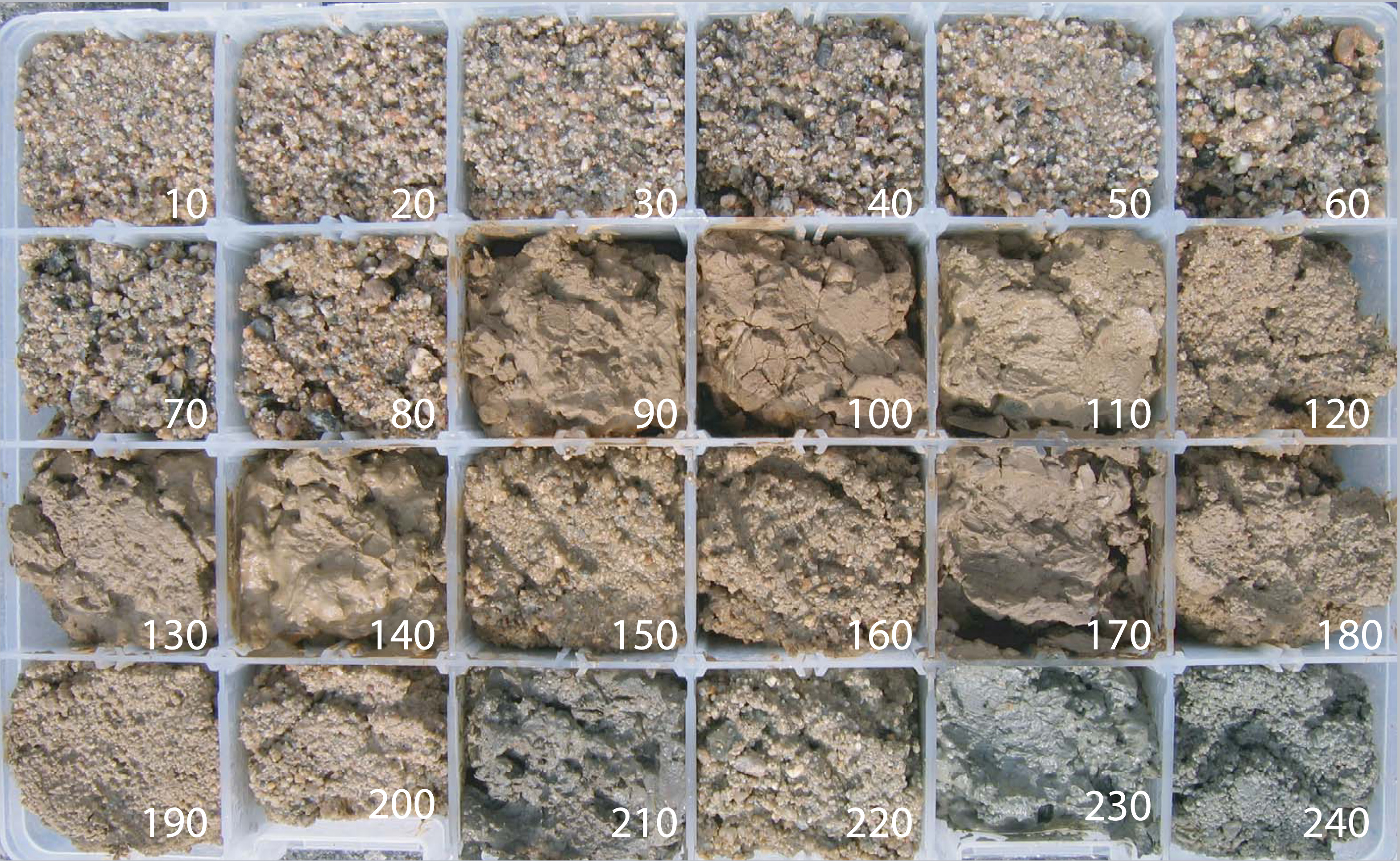
LOS2 Shaker Soil Samples
California Water Science Center, USGS
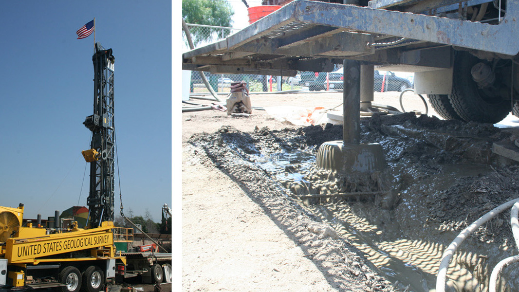
The lithology samples shown in UnderLA come from monitoring wells directed by the USGS Research Drilling Program at the USGS California Water Science Center and the Water Replenishment District of Southern California (WRD). The samples are collected at ten foot intervals during drilling and are meticulously logged by geologists in order to map local geology and monitor groundwater conditions.


The samples are classified according to color, size, type and chemistry, forming a physical document of a vertical slice at the drilling site. This storage room shows lithology samples taken from across Southern Calfornia. The photographs for the sequences of the monitoring wells at LOS2 and TORR2 in UnderLA represent the contents of just twelve boxes from this collection. These studies contribute to the overall geologic map of the basin underlying southern California, indicating the location, quantity and quality of groundwater.

Las muestras litológicas que se presentan en UnderLA provienen de USGS Monitoring Wells dirigidos por el USGS Research Drilling Program at the USGS California Water Science Center and the Water Replenishment District of Southern California (WRD). Las muestras se toman en intervalos de diez pies durante el proceso de perforación y son registrados meticulosomente por geólogos, con el fin de mapear la geología y supervisar las condiciones de las aguas subterráneas.
Las muestras se clasifican según color, tamaño, tipo y composición química, creando una documentación física del corte vertical del lugar de la perforación. Este almacén guarda las muestras litológicas tomadas a lo largo del Sur de California. Las fotografías utilizadas para la secuencia del Monitoring Wells LOS2 y TORR2 en UnderLA presentan tan sólo el contenido de doce de las cajas de esta colección. Estos estudios contribuyen al mapeo geológico general de la cuenca que subyace al sur de California, indicando la ubicación, cantidad y calidad de subsuelo.
