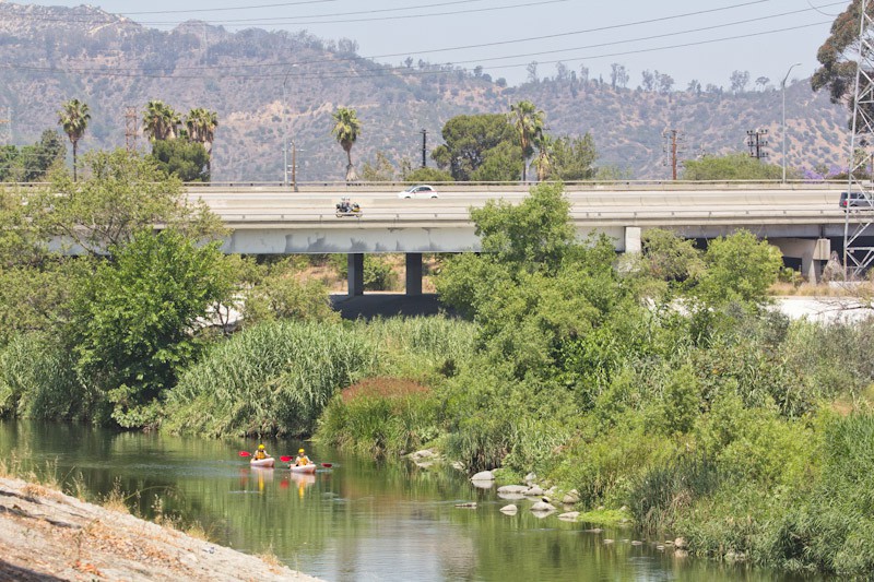
Source: The L.A. River Is Now A Temporary Art Museum, Fast Company Exist, Adele Peters, July 26th, 2016
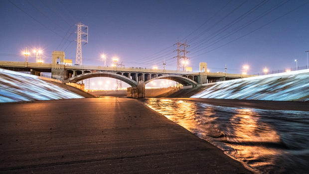
Ask someone in Los Angeles where the city’s water comes from, and they might mention the Colorado River or the massive aqueduct that brings water hundreds of miles from the north. But some of the city’s water is also local. A new work of art called UnderLA, projected on the concrete sides of the L.A. River, shows the water hidden underground.
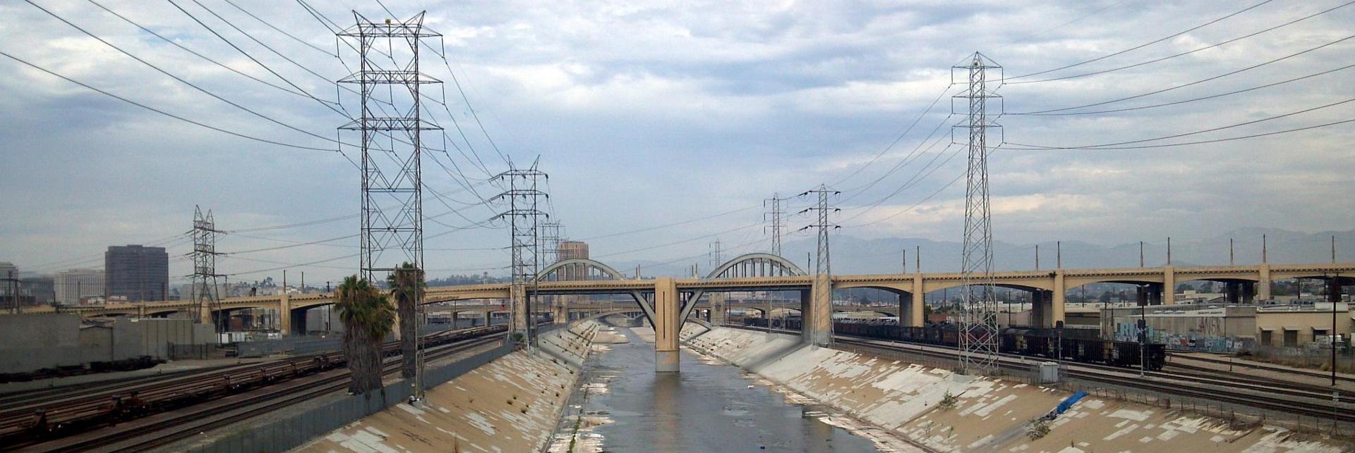
“We used the L.A. River as a canvas, and light as a material, and we project several visual stories,” says artist Refik Anadol, who collaborated with Peggy Weil on the project. It’s 1 of 16 installations up now around the city—on and around the river—as part of Current:LA Water, a new public art biennial.
Some of the projections in UnderLA show layers of sediment in local wells. “As you go down in depth, you’re also going back in time,” says Weil. “I think by 1,000 feet you’ve gone back a million years. There’s an emotional component to this, because it’s our history, and it’s also our future.” Another part of the visualization shows how water levels have risen and fallen with drought and overuse.
Over the next few decades, the city plans to dramatically increase the amount of local water it uses—partly by redesigning infrastructure so the little rainfall L.A. gets goes back into the ground, instead of draining down streets to the ocean. The artists wanted to make data about that groundwater accessible and interesting. “We tried to visualize this data by poetic connection,” says Anadol.

